Services
Satellite Monitoring Services
We deliver satellite-based intelligence tailored to your industry’s specific challenges. From millimeter-precision ground deformation monitoring to AI-powered change detection, our services help you detect risks earlier, reduce inspection costs, and make data-driven decisions—without deploying teams or installing hardware.
Our Capabilities
InSAR & Ground Deformation
Detect subsidence, settlement, and structural movement with 1-2mm precision using radar satellite technology. Monitor infrastructure stability across vast areas without ground access.
Optical & Multispectral Analysis
Monitor vegetation health, land use changes, and asset conditions using high-resolution satellite imagery. Track changes over time with centimeter-level detail.
AI-Powered Detection
Automatically identify objects, changes, and anomalies using machine learning and computer vision. From illegal encroachments to equipment failures—detected before they become problems.
Industries We Serve
Each industry has unique challenges. We deliver satellite intelligence solutions tailored to your specific operational needs.
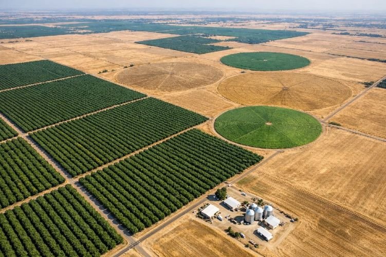
Agriculture
- Crop health monitoring (NDVI)
- Yield prediction & forecasting
- Irrigation optimization
- Soil subsidence detection
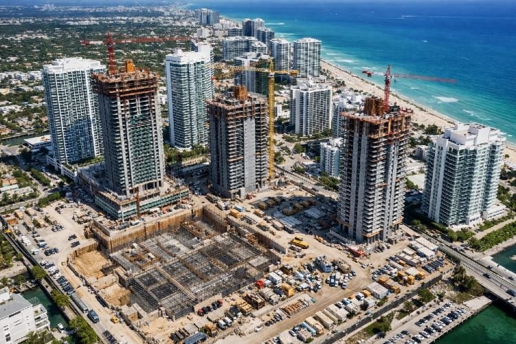
Construction
- Settlement monitoring (InSAR)
- Progress tracking
- Ground stability assessment
- DEM generation

Smart Cities
- Urban planning analysis
- Infrastructure deformation
- Water leak detection
- Green space monitoring
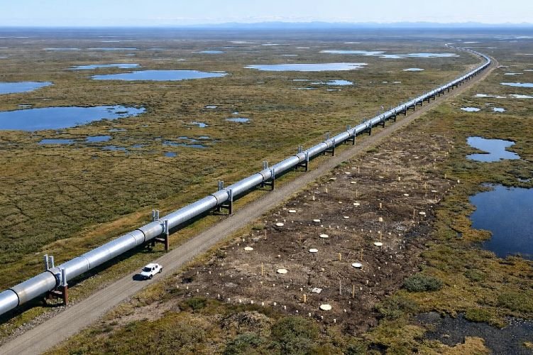
Oil, Gas & Energy
- Pipeline leak detection
- Methane monitoring
- ROW encroachment
- Offshore platform stability
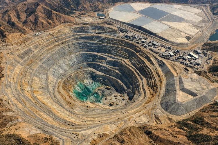
Mining
- Slope stability monitoring
- Tailings dam surveillance
- Stockpile measurement
- Environmental compliance
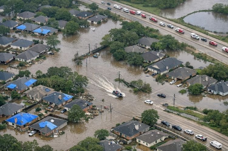
Insurance
- Property risk assessment
- Post-disaster CAT response
- Flood & wildfire mapping
- Claims verification
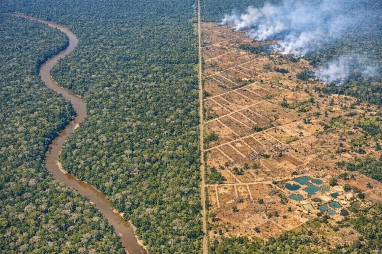
Forestry
- Illegal logging detection
- Wildfire monitoring
- Carbon stock measurement
- Forest inventory
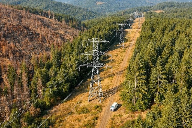
Utilities
- Vegetation management
- Transmission line inspection
- Grid asset mapping
- Storm damage assessment
How It Works
Share Your Challenge
Tell us what you need to monitor, detect, or measure.
We Design the Approach
We select the right data sources and analysis methods.
We Deliver Insights
Reports, maps, and alerts ready for your workflow.
You Act With Confidence
Clear answers. Quantified risks. No guesswork.
Not Sure Which Service You Need?
Tell us your challenge. We’ll recommend the right approach for your specific situation—no commitment required.