Transform Your Farm with Satellite-Based Precision Agriculture
Advanced agricultural technology for crop monitoring, yield prediction, and precision farming using satellite imagery and remote sensing
Get StartedComprehensive Satellite Remote Sensing Solutions for Modern Farming
SkyIntelGroup provides cutting-edge precision agriculture services powered by satellite imagery and remote sensing technology. Our agricultural technology solutions help farmers optimize crop monitoring, improve soil moisture monitoring, and implement precision irrigation systems for maximum yield and sustainability.
Using advanced remote sensing in agriculture, we deliver actionable insights that enable data-driven decisions across your entire farming operation. From precision farming technology to agricultural data analytics, our satellite-based solutions provide the intelligence you need to increase productivity while reducing costs and environmental impact.
Our Precision Agriculture Services
NDVI Crop Health Monitoring
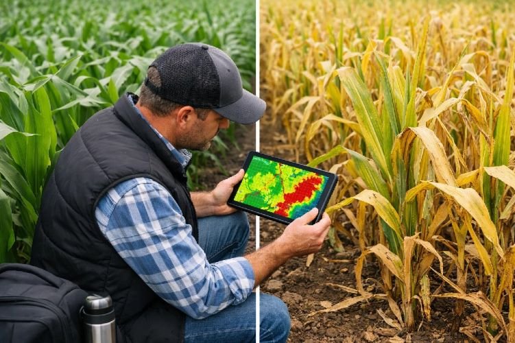
Our crop monitoring service uses satellite crop monitoring technology to track vegetation health through advanced spectral analysis. Using NDVI crop health monitoring, we analyze multispectral satellite imagery from Sentinel-2, Landsat-8, and PlanetScope to detect crop stress before it’s visible to the naked eye.
This remote crop monitoring solution enables early detection of nutrient deficiencies, water stress, and disease pressure through multispectral imaging agriculture. Our crop health monitoring using remote sensing provides weekly updates on vegetation indices including NDVI, EVI, SAVI, and LAI.
Key Benefits
- Early stress detection prevents 15-25% yield losses
- Weekly crop health updates via satellite imagery
- Identifies problem areas for targeted field scouting
- Used in 77% of agricultural insurance programs
- Compatible with precision farming technology systems
Crop Yield Prediction & Forecasting
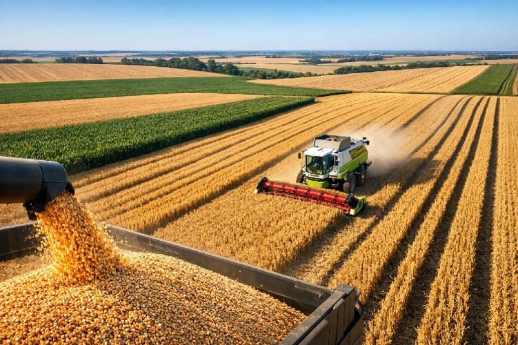
Predict harvest outcomes with confidence using our crop yield estimation service powered by machine learning and agricultural data analytics. Our yield forecasting satellite imagery solution combines satellite data for agriculture with climate data, soil properties, and digital elevation models.
This precision agriculture service uses advanced AI models (Random Forest, XGBoost, LSTM) to deliver yield predictions 1-3 months before harvest with R² accuracy ranging from 0.4 to 0.88, helping you optimize logistics, marketing, and resource allocation.
Key Benefits
- Predictions 1-3 months before harvest
- R² accuracy up to 0.88 for major crops
- Optimize harvest logistics and storage
- Market timing advantages for better pricing
- $2.5B market growing to $3.5B by 2028
Variable Rate Application (VRA) Mapping
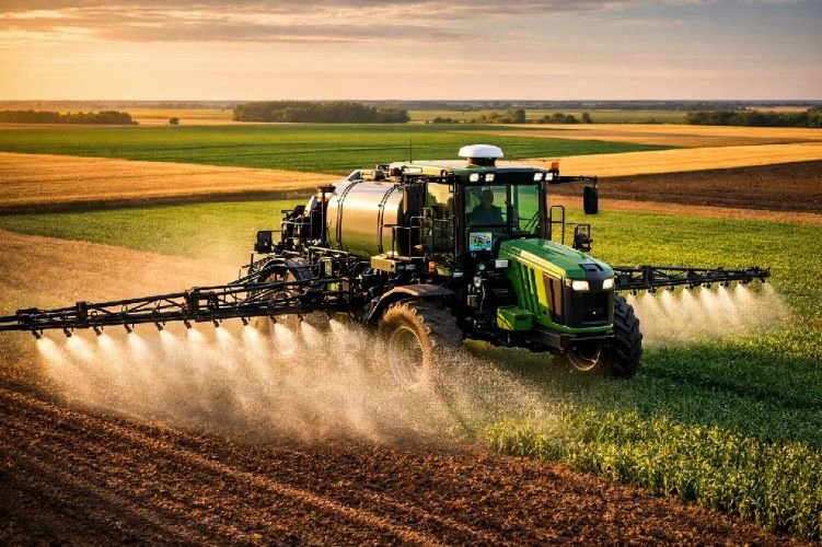
Optimize input costs with variable rate fertilizer application and variable rate application mapping services. Our precision farming technology generates prescription maps that guide your equipment to apply the right amount of fertilizer, pesticide, or seed to each zone of your field.
Using agricultural satellite imagery and remote sensing technology in agriculture, we create management zones based on NDVI analysis, soil properties, and historical yield data. This precision agriculture approach is the #1 adopted technology in modern farming, with 60% of large farms implementing VRA by 2025.
Key Benefits
- 25% reduction in fertilizer costs
- Optimized input application across field zones
- Reduced environmental impact and runoff
- Compatible with major precision ag equipment
- ROI typically achieved in first season
Soil Moisture Monitoring
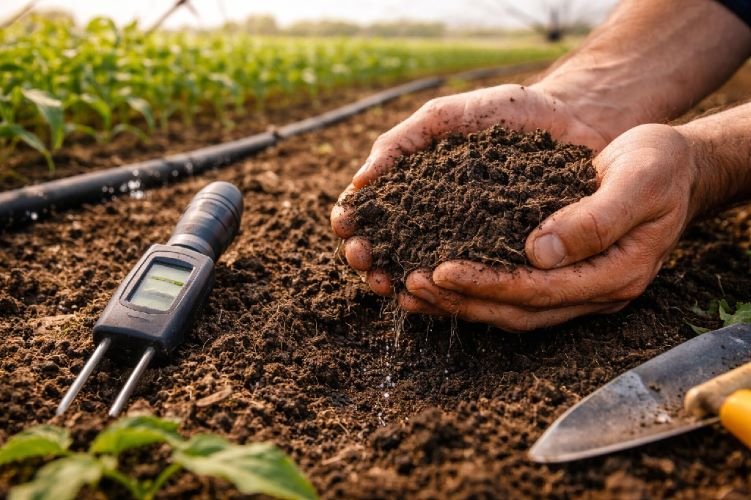
Monitor water availability across your fields with our soil moisture monitoring service using soil moisture satellite data. This remote sensing agriculture solution analyzes Short-Wave Infrared (SWIR) bands, thermal imagery, and SAR radar to detect soil water content and crop water stress.
Our agricultural technology provides critical insights for irrigation scheduling and drought response, helping you conserve water while maintaining optimal crop health. This service is essential for implementing effective precision irrigation systems.
Key Benefits
- Real-time soil moisture status monitoring
- 20-30% reduction in water usage
- Optimized irrigation scheduling decisions
- Early drought stress detection
- Supports sustainable water management
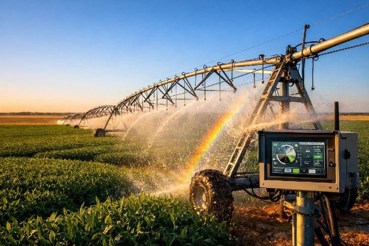
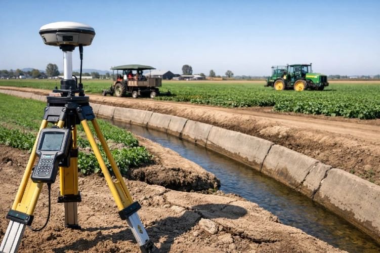
Precision Irrigation Management
Maximize water efficiency with our precision irrigation systems powered by satellite imagery agriculture. Our irrigation scheduling satellite data service uses NDWI indices, thermal imaging, and evapotranspiration models to optimize every irrigation decision.
This agricultural technology solution helps you apply water precisely where and when it’s needed, reducing waste while maintaining optimal crop growth. Perfect for farms facing water restrictions or looking to reduce operational costs through sustainable farming technology.
Key Benefits
- 30% reduction in water consumption
- ROI achieved in one growing season
- Automated irrigation recommendations
- Reduced energy costs for pumping
- Compliance with water conservation regulations
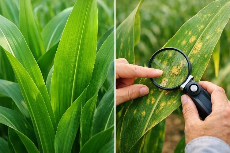
Crop Disease & Pest Early Detection
Protect your crops with early warning systems using crop disease detection satellite technology and AI-powered analysis. Our crop monitoring using remote sensing detects spectral anomalies that indicate disease or pest pressure before visible symptoms appear.
Combining multispectral imaging agriculture with YOLO deep learning algorithms, this precision agriculture service achieves 92% detection accuracy, helping you target interventions precisely and save up to 40% of affected plantations through early action.
Key Benefits
- 92% accuracy in disease detection
- Early detection before visual symptoms
- Saves up to 40% of affected crops
- Targeted treatment reduces pesticide use
- 60% adoption in remote sensing by 2025
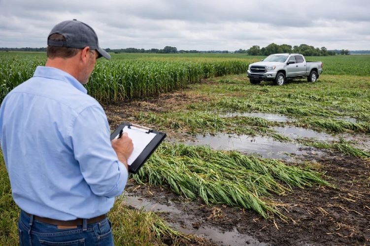
Agricultural Insurance Verification
Streamline insurance claims with objective satellite data for agriculture verification. Our service provides independent, data-driven assessment of crop losses for parametric insurance programs, reducing disputes and accelerating claim processing.
Using time-series remote sensing in agriculture and change detection algorithms, we deliver verifiable evidence of crop damage from drought, flood, hail, or other perils. This agricultural data analytics solution is trusted by major insurance providers worldwide.
Key Benefits
- Objective, satellite-based loss verification
- Automated claim triggers for parametric policies
- Reduces basis risk in index insurance
- Faster claim processing and payouts
- Lower dispute rates between parties
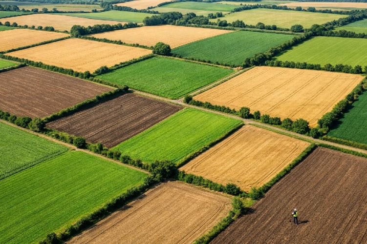
Field Delineation & Mapping
Establish accurate field boundaries with automated agricultural satellite imagery analysis. Our AI-powered semantic segmentation creates precise digital maps of your parcels, providing the foundation for all precision agriculture services.
This remote sensing agriculture service is essential for VRA mapping, yield prediction, and compliance reporting. Updated field boundaries ensure your precision farming technology operates with accurate spatial data.
Key Benefits
- Automated parcel boundary detection
- Foundation for all precision ag services
- Regular updates track field changes
- Compliance with subsidy programs
- Integration with farm management software
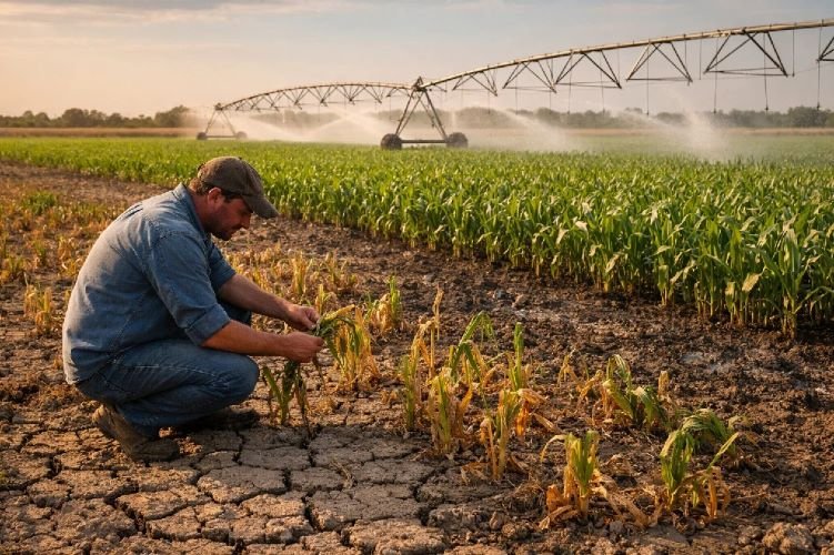
Drought Monitoring & Water Stress Detection
Track water availability with regional drought monitoring agriculture satellite services. Our remote sensing technology in agriculture analyzes drought indices, thermal anomalies, and NDWI to provide early warnings of water stress conditions.
This precision agriculture solution helps you make proactive decisions about irrigation, crop selection, and risk management during water-scarce periods. Essential for adapting to climate variability and implementing sustainable farming technology.
Key Benefits
- Early drought warning system
- Regional water stress monitoring
- Supports irrigation decision-making
- Risk assessment for crop insurance
- Climate adaptation planning tool
Soil Subsidence Monitoring (DInSAR)
Protect your agricultural infrastructure with millimeter-precision ground deformation monitoring using DInSAR technology. Our specialized remote sensing technology in agriculture detects subsidence caused by groundwater extraction, soil compaction, or underground water movement.
This unique precision agriculture service monitors the structural integrity of irrigation systems, buildings, and land stability. SkyIntelGroup is one of the few providers offering this critical service for agricultural operations, helping you prevent costly infrastructure damage and manage aquifer sustainability.
Key Benefits
- Millimeter-precision ground movement detection
- Prevents infrastructure damage
- Sustainable aquifer management
- Early warning for structural risks
- Unique differentiator – few competitors offer this
Why Choose Satellite-Based Precision Agriculture?
Early Detection & Prevention
Satellite remote sensing detects crop stress, disease, and water deficiency 2-4 weeks before visible symptoms, allowing proactive intervention that prevents 15-25% yield losses.
Significant Cost Savings
Reduce input costs by 25% through variable rate application, cut water usage by 30% with precision irrigation, and achieve ROI in a single growing season with farm management software integration.
Sustainable Farming Technology
Minimize environmental impact through optimized resource use, reduce chemical runoff, conserve water, and demonstrate sustainability to meet regulatory requirements and consumer expectations.
Ready to Optimize Your Agricultural Operations?
Join leading farms worldwide using precision agriculture services and satellite remote sensing technology to increase yields, reduce costs, and farm more sustainably.
Contact Us Today