Sky Intel Group

What You Can’t See Is Costing You Money. We Make It Visible.

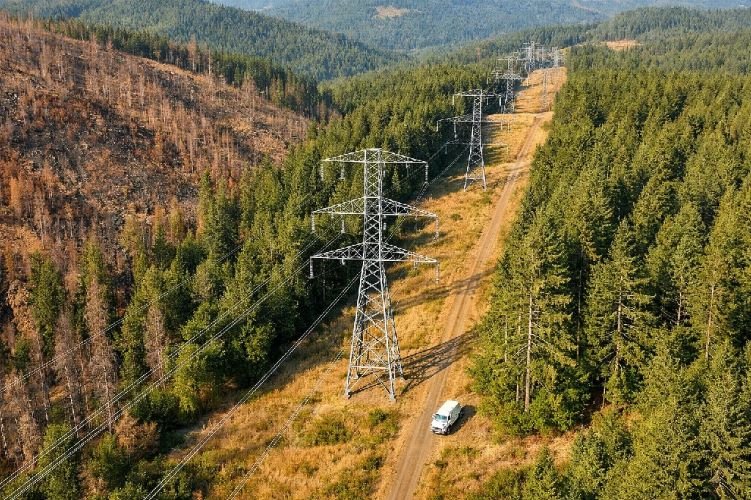
The Problems You Face Every Day

Blind Decisions

Critical assets spread across thousands of hectares. Manual inspections that take weeks and cost fortunes. By the time you detect a problem, it has already cost you money.

Undetected Risks

Subsidence, leaks, encroachments, structural failures—invisible threats that only reveal themselves when it’s too late.

Data Overload, Zero Clarity

You have reports, sensors, spreadsheets. What you don’t have is a clear answer: where is the problem, how severe is it, and what should you do now?

Satellite Intelligence That Delivers Answers

We analyze satellite imagery to monitor assets, detect changes, and identify risks—before they become costly problems. No hardware to install. No teams to deploy. Just precise, actionable insights delivered when you need them.

Faster Detection

Identify issues in days, not months.

Lower Costs

Replace expensive inspections with remote monitoring.

Reduced Risk

Catch threats before they cause damage.
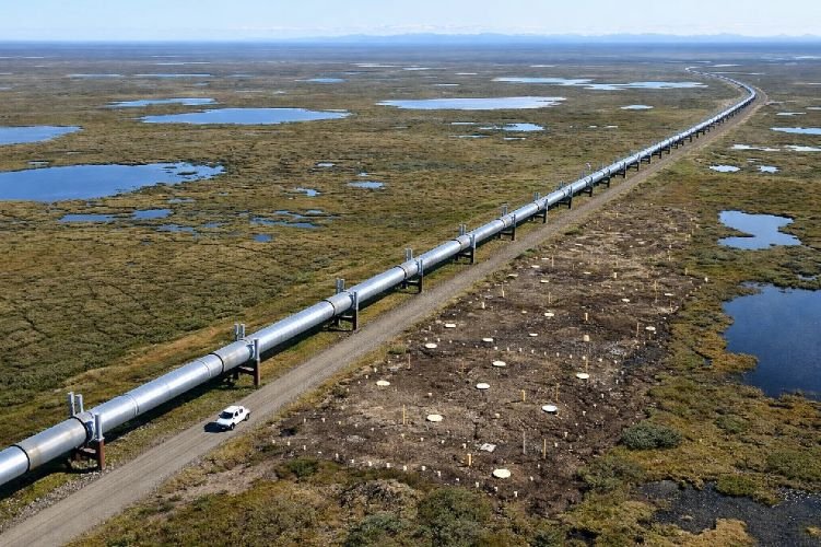
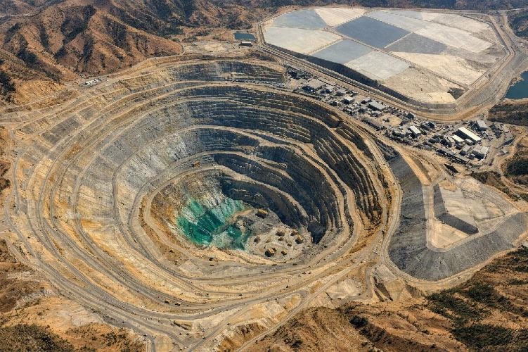
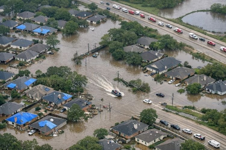
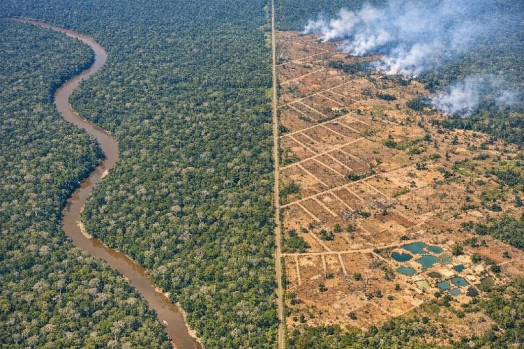
Industries We Serve

Satellite intelligence tailored to your sector’s specific challenges.

Satellite crop monitoring and agricultural remote sensing services

Agriculture

Monitor crop health, optimize irrigation, predict yields.

Explore Services
Construction site monitoring with aerial satellite view

Construction

Track settlement, monitor progress, assess ground stability.

Explore Services
Smart city urban planning using satellite imagery

Smart Cities

Plan urban growth, detect infrastructure issues, manage assets.

Explore Services
Pipeline monitoring and oil gas satellite surveillance

Oil, Gas & Energy

Detect leaks, monitor pipelines, ensure regulatory compliance.

Explore Services
Open pit mine monitoring with satellite imagery

Mining

Monitor slope stability, track tailings dams, measure stockpiles.

Explore Services
Flood damage assessment for aerial insurance claims

Insurance

Assess damage remotely, verify claims, evaluate property risk.

Explore Services
Deforestation monitoring using forest satellite imagery

Forestry

Detect illegal logging, measure biomass, monitor fire risk.

Explore Services
Power line vegetation management with aerial monitoring

Utilities

Manage vegetation, inspect transmission lines, prevent outages.

Explore Services

How We Work

1

You Tell Us the Challenge

Describe what you need to monitor, detect, or measure.

2

We Design the Solution

We select the right satellite data, sensors, and analysis methods for your case.

3

We Deliver Intelligence

Reports, maps, alerts—formatted for your workflow, ready for decisions.

4

You Act With Confidence

Clear answers. Quantified risks. No guesswork.

Why SkyIntelGroup

Consultative, Not One-Size-Fits-All

We’re not a self-service platform. We work directly with you to understand your operation and deliver exactly what you need.

Millimeter Precision with InSAR

Our specialty: detecting ground movement invisible to the naked eye. Subsidence, settlement, structural deformation—measured in millimeters.

Global Reach, Personalized Service

We serve clients worldwide with the attention of a dedicated partner, not a distant vendor.

Frequently Asked Questions

Satellite intelligence uses data captured by Earth observation satellites to monitor assets, detect changes, and identify risks. We process imagery from radar (SAR/InSAR) and optical sensors to deliver precise, actionable insights—without anyone setting foot on your site.
Any industry with distributed assets or large areas to monitor. We serve agriculture, construction, smart cities, oil & gas, mining, insurance, forestry, and utilities—each with tailored solutions for their specific challenges.
With InSAR technology, we detect ground movement with millimeter precision. Optical imagery resolution ranges from 30cm to 3m depending on the application. Accuracy is comparable or superior to traditional ground surveys—at a fraction of the cost.
No. Satellite monitoring is completely remote. We access satellite data, process it, and deliver insights—no hardware installation, no field teams, no disruption to your operations.
Monitoring frequency depends on your needs. We can deliver weekly, bi-weekly, or monthly reports. For critical assets, near-real-time monitoring is available using satellite constellations with daily revisit capability.
We deliver reports, maps, GIS-compatible files, and actionable recommendations—formatted for your workflow. You receive clear answers about what’s happening, where, how severe it is, and what to do next.

Ready to See What You’ve Been Missing?

Tell us your challenge. We’ll show you how satellite intelligence can solve it.