Construction
Advanced Construction Monitoring & Infrastructure Management
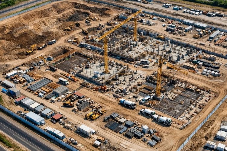
Satellite-based foundation inspection, subsidence monitoring, and structural health monitoring for safe, efficient construction projects
Get StartedProfessional Construction Monitoring Services Using Satellite Technology
SkyIntelGroup provides comprehensive construction monitoring solutions powered by advanced satellite remote sensing. Our infrastructure management services include foundation inspection, subsidence monitoring, and structural health monitoring to ensure project safety and compliance throughout the construction lifecycle.
From geotechnical survey and site assessment to construction site surveillance and settlement monitoring, our satellite-based technology delivers millimeter-precision measurements for construction risk management and construction quality control. We serve contractors, developers, engineers, and asset owners with reliable remote monitoring services for critical infrastructure projects worldwide.
Our Construction & Infrastructure Monitoring Services
Subsidence Monitoring (DInSAR)
Our subsidence monitoring service uses Differential Interferometric Synthetic Aperture Radar (DInSAR) to detect ground subsidence monitoring with millimeter-precision accuracy. This land subsidence monitoring solution tracks ground settlement caused by groundwater extraction, mining activity, soil consolidation, or natural geological processes.
Using advanced satellite technology including Sentinel-1, TerraSAR-X, and COSMO-SkyMed, our subsidence monitoring methods provide continuous surveillance of urban areas, construction sites, and critical infrastructure. We deliver subsidence risk assessment with historical baseline analysis and forensic-level documentation for engineering decisions and legal compliance.
Key Benefits
- 1-2mm precision ground deformation detection
- Historical baseline data available from 1992
- Remote monitoring without ground access required
- Forensic evidence for insurance and legal cases
- Early warning system prevents structural damage
Construction Settlement Monitoring
Track building settlement during and after construction with our specialized settlement monitoring service. This critical construction monitoring solution detects foundation movement, differential settlement, and structural deformation in real-time using time-series DInSAR analysis with weekly or monthly updates.
Essential for urban construction projects, our building construction monitoring service provides early detection of settlement issues before they become critical structural problems. We deliver settlement analysis that enables proactive intervention, optimizes inspection schedules, and prevents costly building failures or construction delays.
Key Benefits
- Early detection prevents structural collapse
- Weekly/monthly settlement tracking reports
- Optimizes physical inspection requirements
- Critical for high-rise and heavy structures
- Supports construction quality control programs

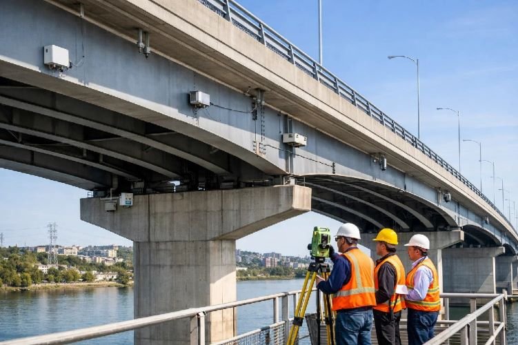
Infrastructure Stability Monitoring
Protect critical infrastructure with our comprehensive infrastructure monitoring solutions for bridges, tunnels, highways, dams, and railways. Our structural health monitoring service combines InSAR satellite data with optional GNSS sensor integration to track structural movement, deformation, and stability of aging or high-value infrastructure assets.
This infrastructure management solution provides predictive maintenance intelligence, preventing catastrophic failures while reducing maintenance costs by 30-50%. Our infrastructure inspection service delivers continuous monitoring that complements traditional inspections, providing comprehensive coverage for civil engineering monitoring programs.
Key Benefits
- Prevents infrastructure accidents and failures
- 30-50% reduction in maintenance costs
- Predictive maintenance replaces reactive repairs
- Continuous monitoring of critical assets
- Supports aging infrastructure management programs
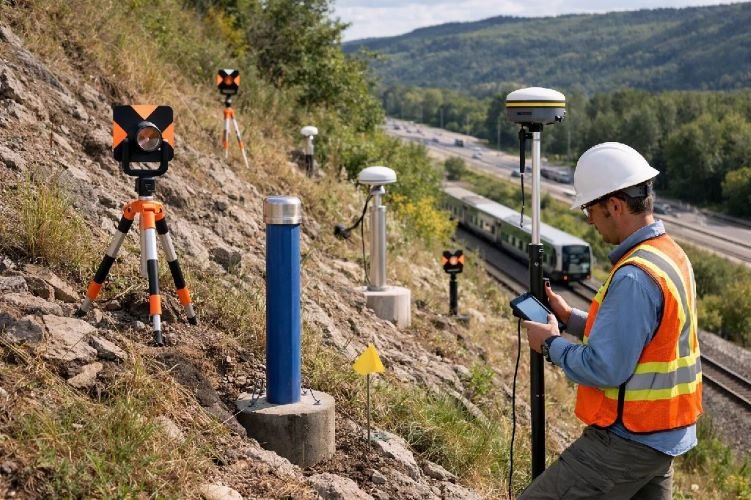
Ground Movement & Deformation Monitoring
Monitor ground instability with our advanced ground movement monitoring and ground deformation monitoring service. Using InSAR coherence analysis combined with machine learning algorithms, we detect slope movement, landslides, and terrain deformation that threatens roads, railways, and structures in mountainous or geologically unstable areas.
Our slope stability monitoring solution provides early warning alerts for potential slope failures, supporting highway safety programs, railway operations, and residential area protection. This geotechnical service is essential for transportation corridors and developments in challenging terrain.
Key Benefits
- Early warning alerts for slope failures
- Protects transportation corridors and infrastructure
- Machine learning predicts movement trends
- Covers large areas inaccessible by ground surveys
- Essential for mountainous and unstable regions
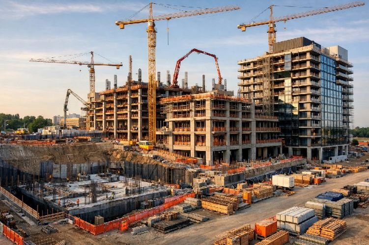
Construction Progress Monitoring
Track construction advancement with our construction progress monitoring and construction progress tracking service. Using high-resolution optical satellite imagery (30-50cm) combined with AI-powered change detection (YOLO algorithms), we provide objective verification of project milestones and construction activity across large-scale developments.
This construction project monitoring solution delivers automated progress reports, reduces the need for costly site inspections, and provides construction progress documentation for stakeholder updates, payment verification, and project control. Ideal for remote projects, multi-site portfolios, and developments requiring frequent progress updates.
Key Benefits
- Remote verification eliminates site visit costs
- Automated progress reports and documentation
- Objective milestone verification for payments
- Ideal for remote or multi-site projects
- AI-powered change detection ensures accuracy
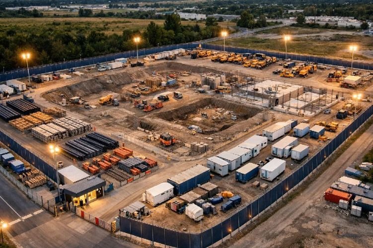
Construction Site Surveillance
Secure your construction sites with 24/7 construction site surveillance powered by satellite and AI technology. Our site monitoring services use optical and SAR imagery combined with YOLO object detection to identify vehicles, equipment, and unauthorized activity on remote or high-value construction sites.
This remote monitoring services solution prevents theft, unauthorized access, and equipment misplacement, providing continuous security coverage without expensive on-site personnel or camera infrastructure. Perfect for remote projects, valuable equipment protection, and compliance documentation.
Key Benefits
- 24/7 surveillance without on-site security costs
- Theft prevention and asset protection
- AI detects vehicles, equipment, and intrusions
- Ideal for remote or high-value projects
- Historical documentation for incident investigation
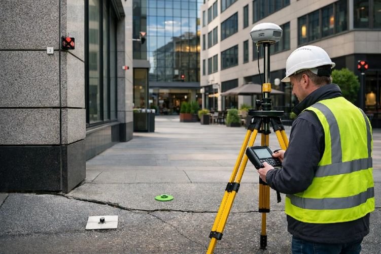
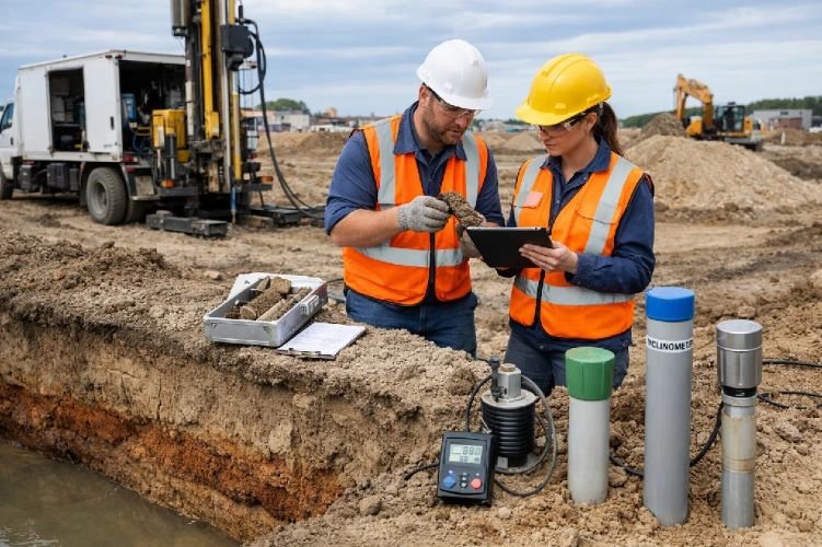
Geotechnical Monitoring & Assessment
Establish baseline conditions and assess ground stability with our comprehensive geotechnical survey and geotechnical monitoring services. Using historical InSAR data, digital elevation models, and soil analysis integration, we evaluate site suitability, identify geotechnical risks, and provide pre-construction baseline assessments for complex developments.
Our site assessment service reveals ground movement history, subsidence patterns, and potential geohazards before construction begins, enabling informed foundation design decisions and risk mitigation strategies. We work with geotechnical monitoring companies to provide comprehensive site characterization for challenging projects.
Key Benefits
- Historical ground movement baseline from 1992+
- Identifies geotechnical risks before construction
- Supports foundation design optimization
- Reduces unexpected site condition costs
- Essential for complex or high-value projects
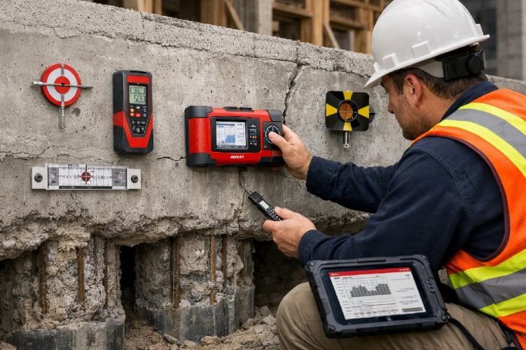
Foundation Inspection & Monitoring
Protect structural integrity with our specialized foundation inspection and monitoring service. Using InSAR time-series analysis and change detection algorithms, we monitor foundation movement, differential settlement, and structural deformation in buildings located in subsidence-prone areas or with challenging ground conditions.
This structural inspection services solution provides continuous monitoring that complements traditional structural assessments, delivering early warning of foundation problems before they cause visible damage. Essential for building damage assessment and preventive maintenance in areas with known subsidence or expansive soil issues.
Key Benefits
- Prevents catastrophic foundation failures
- Continuous monitoring in subsidence zones
- Early detection enables cost-effective repairs
- Supports building assessment services programs
- Critical for structures on challenging soils
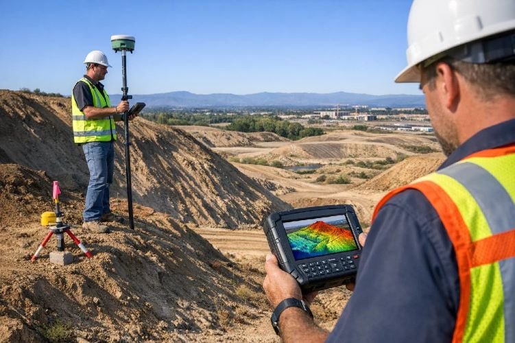
Digital Elevation Models (DEM) Generation
Support construction planning with precision digital elevation model generation using InSAR and satellite photogrammetry. Our DEM services (DEM DTM products) provide accurate terrain models essential for site planning, volumetric calculations, drainage design, and earthwork optimization across development sites of any size.
This foundational service enables accurate cut-and-fill calculations, slope analysis, and infrastructure routing for roads, utilities, and drainage systems. We deliver high-precision elevation data that supports land surveying services and engineering design across all project phases.
Key Benefits
- Precision terrain models for planning and design
- Accurate volumetric calculations for earthwork
- Supports drainage and grading design
- Essential foundation for all site development
- Cost-effective alternative to aerial LiDAR
Construction Site Mapping & Change Detection
Document site conditions with comprehensive construction site mapping and site change detection services. Using high-resolution satellite imagery and computer vision algorithms, we create detailed site maps, track temporal changes, and provide continuous documentation of construction activity, site boundaries, and environmental conditions.
This construction site analysis service supports dispute resolution, regulatory compliance reporting, environmental monitoring, and construction change management programs. Our construction site survey capability provides objective evidence for claims, ensures compliance with permits, and tracks adherence to approved site plans.
Key Benefits
- Continuous site documentation and mapping
- Objective evidence for dispute resolution
- Compliance verification for permits and regulations
- Environmental monitoring and reporting
- Historical record for legal and insurance purposes
Why Choose Satellite-Based Construction Monitoring?
Millimeter-Precision Detection
Our DInSAR technology detects ground movement and structural deformation with 1-2mm accuracy, providing early warning of settlement, subsidence, and stability issues before they become critical safety hazards or costly failures.
Significant Cost Reduction
Reduce inspection costs, prevent structural failures, and optimize maintenance schedules. Our remote monitoring eliminates expensive site visits while providing more frequent and comprehensive coverage than traditional methods.
Comprehensive Risk Management
Proactive monitoring minimizes construction risks, supports quality control programs, ensures regulatory compliance, and provides forensic documentation for insurance claims and legal proceedings.
Ready to Enhance Your Construction Project Safety?
Join leading contractors, developers, and infrastructure owners using satellite monitoring technology to reduce risks, prevent failures, and ensure project success.
Contact Us Today